
Rome ZIP Directory Coverage
Two ZIP codes carry most standard Rome delivery addresses. Several other codes belong in a complete Rome ZIP code directory because they serve government mail, Mount Berry, or nearby Floyd County communities that appear in regional records. The areas below are practical descriptions, not parcel-level boundaries. Use the USPS Rome location record to validate a mailing address and Rome-Floyd GIS to test jurisdiction.
| ZIP Code | Areas Covered | Post Office | Notes |
|---|---|---|---|
| 30161 | Downtown, east and south Rome; East Rome; many addresses east of the rivers | Verify exact station with USPS | Standard Rome mailing ZIP; can include county territory outside city limits |
| 30165 | West and north Rome; Martha Berry corridor; Garden Lakes and Horseleg side | Rome Main and West Rome | Main office uses 30165-9998; West Rome uses 30165-9997 |
| 30162 | Rome government and PO-box mail | Rome postal facilities | Do not treat as a residential neighborhood |
| 30149 | Mount Berry and Berry College | Mount Berry | Institution-linked postal geography |
| 30147 | Lindale | Lindale, 502 Park Avenue SE | Floyd County and Rome-directory orbit, but not automatically Rome city |
| 30129 | Coosa | Coosa, 4000 Alabama Highway NW | Regional Floyd address outside the Rome core |
No official USPS page found in the research lists every Rome delivery ZIP in one table, and no verified ZIP change years or per-ZIP population counts were available. Check each target address rather than inferring its code from a neighborhood name. Rome Main is at 1420 Martha Berry Boulevard NE, while West Rome is at 2503 Redmond Circle NW. A station's own ZIP+4 is not a residential ZIP for the blocks around it.
The six codes serve different purposes. 30161 and 30165 are the chief residential delivery areas associated with Rome. The others should not be blended into two broad halves of the city. A college-linked code, a government-mail code, and the codes for Lindale and Coosa each need their own check. Neighborhood language is also approximate. Garden Lakes and Horseleg help orient the west and north side, while East Rome and downtown help orient 30161, but no neighborhood label can replace a standardized address.
Verify Rome Addresses With USPS
USPS is the authority for the standardized mailing form. Enter the full street address in the official ZIP lookup, including the directional and street type. Rome uses NE, NW, SE, and SW heavily. Dropping one can point to the wrong side of the rivers or fail to match a record. Save the returned city, five-digit ZIP, and ZIP+4 exactly as shown.
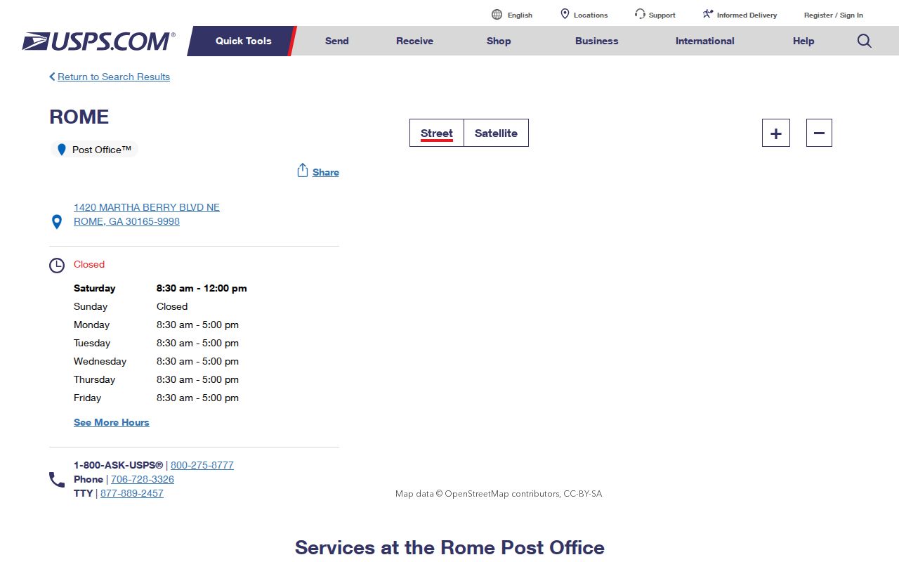
The official Rome 30165 location page also shows services and nearby stations. Its screenshot below is useful for recognizing the USPS source, but a post-office page does not draw the ZIP boundary.
Use the standardized result as the search form for GIS, assessor, and records requests. Do not turn a PO box into a residence address.
If USPS returns no match, check the house number, directional, street type, and unit. Do not guess a ZIP from the closest post office. A new or annexed address may also require help from local addressing staff. Rome-Floyd GIS can supply map context at 706-802-6703, while the postal result controls the mailing form. Keep both records when they answer different questions. One states how mail is delivered; the other shows the parcel and civic layers around it.
Find Rome Residents by ZIP
A ZIP narrows geography, but each official source works differently. Floyd QPublic centers on owner, location, parcel, and map fields; the research did not verify a public ZIP-wide filter there. Georgia's purchased voter file does include residence ZIP and mailing ZIP, making it the clearest official ZIP-sortable resident source. Its lawful-use limits still apply. The personal My Voter Page is for checking one's own registration, not browsing a whole ZIP.
- Validate the full address and ZIP with USPS.
- Locate it on the Rome-Floyd GIS ZIP and city-limit layers.
- Search QPublic by the street location or owner, then note situs and mailing ZIP separately.
- For lawful civic or personal research, sort an authorized Georgia voter-list order by residence ZIP.
- Move to the Rome street directory workflow once the result is narrow enough for street-level work.
Never equate the property owner with the person who lives at the site. QPublic distinguishes the parcel's situs, which is its physical location, from the owner's mailing address. A Rome owner may receive tax mail in another ZIP, and a resident may not own the parcel at all.
| ZIP field | What it means | Use |
|---|---|---|
| Residence ZIP | ZIP attached to the voter's residence address | Sort the voter file by where the record places the residence |
| Mailing ZIP | ZIP used for a separate mailing address | Do not substitute it for residence geography |
| Situs ZIP | ZIP tied to a parcel's physical site | Compare with USPS and GIS |
| Owner mailing ZIP | Where the tax owner receives mail | Do not treat as proof of occupancy |
The state voter-list order process is a paid request rather than an open browse screen. The file includes full residence and mailing components, municipality, precinct, status, registration date, and many district fields. Orders are delivered electronically, generally in about two weeks. Georgia law makes voter lists public under O.C.G.A. § 21-2-225 and prohibits commercial use under § 21-2-601. Request only the file needed for a lawful purpose, keep residence and mailing ZIP fields separate, and account for VoteSafe records whose residential address is protected.
Map Rome ZIP Code Layers
The Rome-Floyd web mapping applications place ZIP codes beside polling locations, wards, precincts, parcels, zoning, historic districts, and city-county geography. That makes GIS the bridge between a mailing code and the office that may hold a record. Use the newest layer for present jurisdiction and a dated map for an older event.
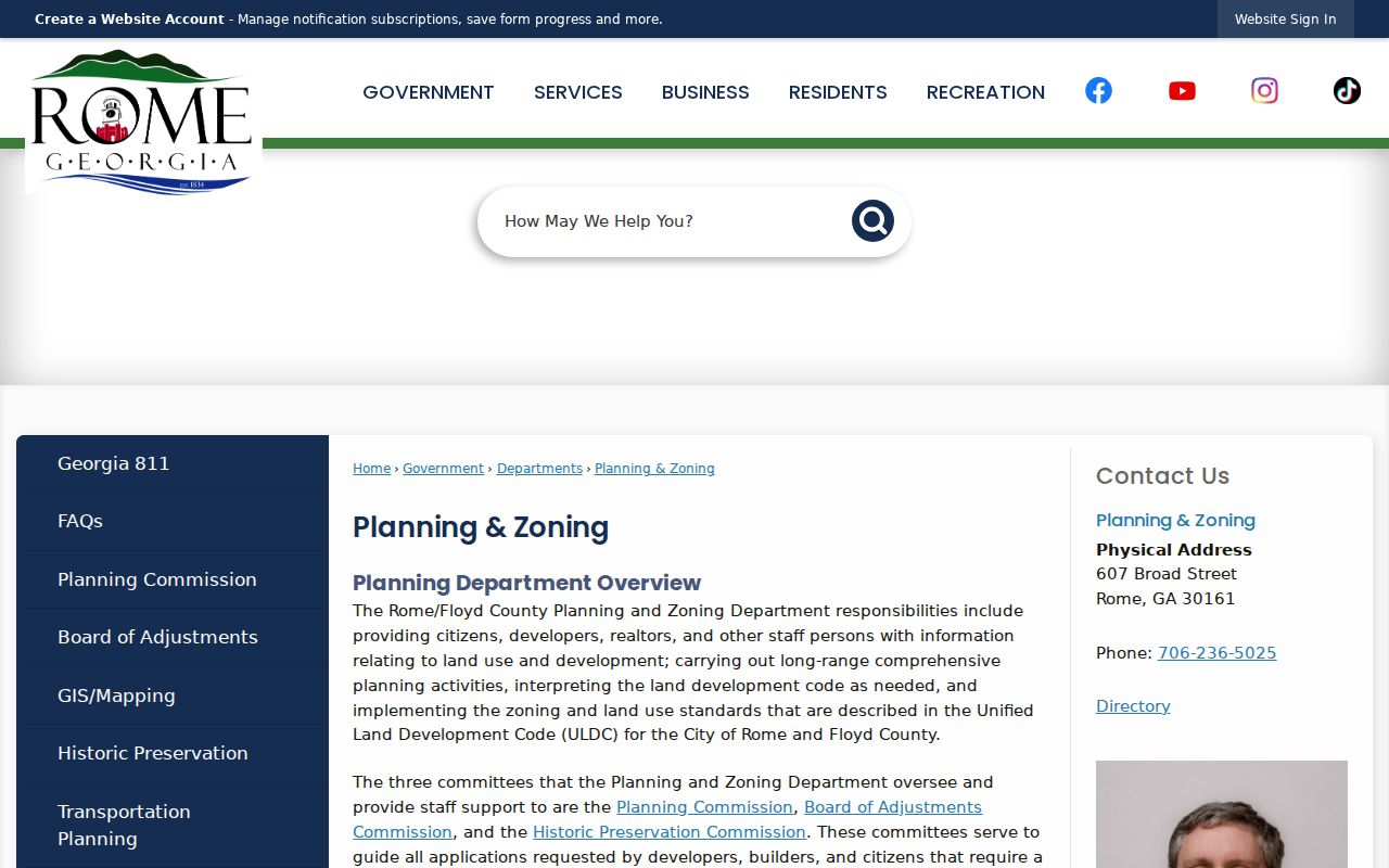
The planning page shown below links annexation, zoning, historic-district, address, and tax-ID functions that help explain why a Rome mailing address may cross a civic boundary.
Read the parcel PIN, ward, precinct, and jurisdiction from the map before contacting a custodian. The ZIP code directory narrows mail geography; the map identifies the civic layer.
Turn layers on one at a time. Start with the ZIP boundary and city line, then add the parcel. Next compare ward, precinct, zoning, or historic district only if that layer answers the question. Too many layers can hide the boundary that matters. Record the map's update date. Rome-Floyd lists recent products with different dates, including precinct, transit, and zoning updates, so two layers may not represent the same moment. For past research, save the current result but ask for the dated map or annexation file.
Rome Annexation and ZIP Geography
Annexation can shift a parcel into city services without forcing USPS to change its mailing city or ZIP. Rome's application process asks for a street address, parcel identification number, warranty deed, and plat. City services begin at the next calendar quarter after annexation. Those facts show why record custody and postal geography can move on different schedules.
An official example at 210 Harrison Road NW uses Rome, GA 30165 and parcel H12Z413 while documenting current and requested jurisdiction and zoning. Do not generalize that parcel's status to its neighbors. Use it as a model for the fields that help resolve another address: exact street form, PIN, deed, plat, and effective date.
The deed and plat matter because postal words can change while land identity remains stable. A parcel identification number points to the tax map, and the plat shows the surveyed tract. When a permit or city service record appears only after annexation, the earlier county record may still hold the older event. Search both custodians if the date spans the boundary change. The Georgia Open Records Act offers a fallback when no public index exposes the needed annexation or addressing file, with agencies generally required to respond within three business days.
Special Rome ZIP Code Uses
30162 appears in official Rome and Floyd government mailing addresses. Treat it as PO-box or government mail geography, not a neighborhood with a resident roster. Mount Berry's 30149 is tied to institutional postal geography around Berry College. A campus address can identify a school or office without identifying a private home.
Lindale 30147 and Coosa 30129 also sit in Rome's broader records orbit. They are in Floyd County and may appear in older Rome-published directories, yet their USPS place names remain distinct. Searchers should preserve both the place label in the source and the modern standardized address.
Mount Berry deserves the same care. Berry College creates strong institutional records and community ties, but an institutional listing may identify a campus office rather than a private residence. Search the exact campus address through USPS before choosing 30149. For 30162, note whether the source is a city or county office using a mail box. Neither code should be used as a shortcut to build a neighborhood resident list.
Directionals Inside Rome ZIP Codes
Rome's rivers and downtown grid make directionals essential. A record may use East or West, a numbered avenue, or NE, NW, SE, and SW. Street type matters too. Enter the exact QPublic or USPS form before deciding that two results describe the same location. For an old record, also save the lot, block, subdivision, and legal description because those details can outlast postal wording.
The Etowah and Oostanaula meet to form the Coosa, separating districts linked by bridges. Downtown, East Rome, West Rome, Garden Lakes, Horseleg, Riverside, Mount Berry, Lindale, and Shannon recur in maps and directories, but not all have the same municipal status. ZIP codes are one layer in that geography, not the final answer.
Numbered avenues add another source of confusion. Copy “Avenue” and its number exactly, and do not swap it with a numbered street. An older directory may abbreviate the same words differently from USPS. Search both the printed historic form and the current standard form, then confirm the parcel through its legal description. This is more reliable than assuming every spelling change means a move.
Note: Keep every directional and suffix when copying a Rome address; one dropped element can change the parcel or jurisdiction.
Rome Parcel and Mailing ZIPs
Floyd County's QPublic property search accepts owner name, location address, parcel number, and map-based searches. Its record separates the physical parcel location from the tax owner's mailing address. Search the standardized street location first. Then save the parcel ID, owner name as indexed, property address, mailing address, legal description, map reference, and any links to sales or deeds. Those fields can reveal why the two ZIPs differ.
The parcel card answers an ownership question, not a complete resident question. Rome's owner-occupancy rate was 49.2 percent in the cited 2020-2024 Census estimates, so a large share of occupied homes cannot be tied to occupants from ownership alone. Even an owner with the same situs and mailing ZIP may receive mail elsewhere within that code. Use an official directory, lawful voter source, or dated historical record when the person at the address is the question.
When QPublic does not accept a broad ZIP filter, avoid pretending it does. Search by address or parcel and compare the ZIP returned for each relevant record. A bulk export may expose a ZIP field, but that function was not verified in the public interface researched for Rome. The accurate statement is that ZIP appears as address data and can be compared after a parcel is found.
Choose Rome Records by Boundary
Once USPS and GIS settle the mail and map layers, choose the custodian by record type. Floyd County keeps deeds, tax parcels, probate matters, and most trial-court material for the whole county. Rome keeps municipal permits, planning files, city code matters, cemetery material, and municipal records for its own jurisdiction. A 30161 or 30165 address outside city limits still belongs in Floyd deed and tax systems, but it may not have a Rome permit file.
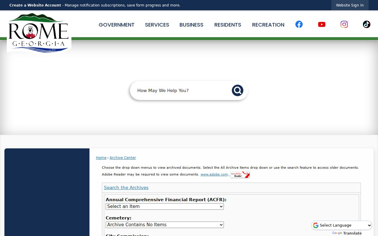
For a name in city material, search the Rome Archive Center by keyword, archive category, and date range. Useful categories include Cemetery, City Commission, Community Development, Engineering, Municipal Court, Police, Street, Transit, and Water Billing. The image below shows the official archive search surface used for Rome departmental documents.
An archive hit can connect a name or address to a dated city document, but it does not redefine the postal boundary. Cite the department, document date, and category, then verify the address through USPS and GIS. If the city archive has no result, contact the named department or file a focused Georgia Open Records Act request.
The Rome staff and department directory identifies the city contact to use after a ZIP and parcel have been checked against the municipal boundary.
This is a government contact directory, not a household list; use it to reach the department that keeps the requested city record.
The companion Rome departments page provides the broader agency list for a ZIP code directory search that crosses planning, public works, police, cemetery, or clerk records.
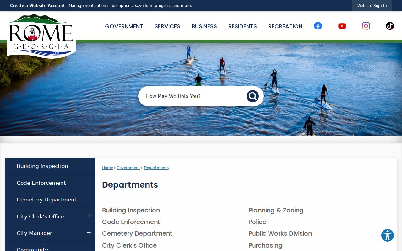
Match the department to the parcel's jurisdiction and the date of the event before sending a request.
For requests routed through an online intake, the Rome Form Center groups options for GIS, planning, code, municipal court, and other departments.
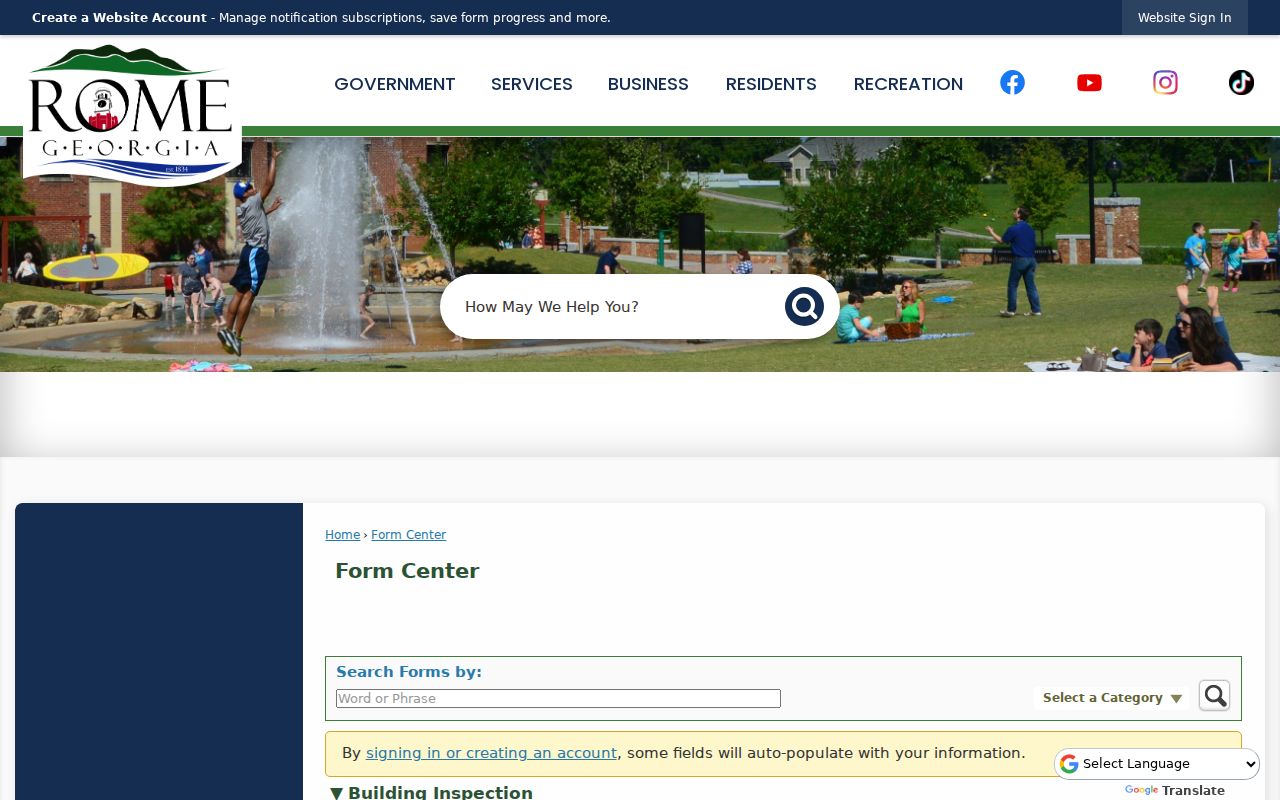
The form confirms where to send an inquiry after geography is resolved, but it does not replace a searchable permit or resident index.
Rome ZIPs Versus City Limits
A Rome postal address does not prove City of Rome jurisdiction. Deeds and property taxes are Floyd County records throughout the county. Permits, city code files, and municipal services depend on whether the parcel sits inside city limits at the relevant time. For a current question, compare USPS, the GIS city-limit layer, and the parcel card. For an old question, add annexation records and dated maps.
- ZIP and ZIP+4
- The five-digit delivery area and a four-digit add-on that narrows a delivery segment.
- PO-box ZIP
- A code used for mail collected at postal boxes, not a map of home locations.
- Unique ZIP
- A code associated with one large institution or mail operation, such as institutional Mount Berry geography.
- Carrier route
- A postal delivery path within a ZIP. It is not a city ward, precinct, or parcel boundary.
If an online source is unclear, call Rome-Floyd GIS at 706-802-6703 for mapping context. City department contacts and forms are available through the Rome departments directory, staff directory, and Form Center. A narrow records request should name the address, date range, parcel PIN if known, and the document sought.
The city's Archive Center is another fallback for named documents. It searches keywords, archive category, time period, and start and end dates across departmental archives. Try the exact address and parcel PIN, then narrow to Planning, Engineering, Street, City Commission, or Community Development material. The Form Center is an intake path for departments, not a public permit-result database. For a permit history, contact Building Inspection at 706-236-4480 or send a focused open-records request that asks for the site address, permit number, applicant, owner, work description, issue and final dates, inspections, and certificate of occupancy.