
Rome Neighbors Across Public Sources
A block lookup starts with geography, then adds names. Rome-Floyd GIS shows which parcels actually adjoin, front, or sit across from the target. QPublic supplies the owner and mailing address for each parcel. A lawfully ordered voter list can show registered voters by standardized residence street and ZIP. Planning notices may name owners with an interest in a nearby rezoning or annexation. Historic maps and reverse directories can move the same block into an earlier year.
| Source | What It Shows About a Block | Access |
|---|---|---|
| Rome-Floyd GIS | Parcel adjacency, addresses, zoning and districts | Free web maps |
| Floyd QPublic | Owner, mailing address and parcel facts | Free search |
| Georgia voter list | Registered voters by residence street, ZIP and precinct | Paid order; use restricted |
| Planning notices | Nearby owner notice and rezoning interest | Agendas or records request |
| Historic district maps | Survey and district context for the block | Free GIS or PDF |
| Reverse directories | Listed occupants by house number in an edition | Library or digitized holdings |
Ownership and residence are not the same. Rome's recent Census estimate puts owner occupancy at 49.2 percent, so a parcel roll cannot identify a large share of occupants. A mailing address may also lead to a business, representative, or post office box. Treat each public name as a role attached to a dated record. Never turn an owner list into a claim about all nearby households.
Rome GIS Layers Define the Block
The Rome-Floyd web mapping page links parcel, address, ZIP, ward, precinct, zoning, land-use, and historic-district resources. That shared system is unusually helpful because one Rome block can be read in several official geographies at once. Postal city, incorporated city, voting precinct, and tax jurisdiction do not always match.
Search the exact standardized address and retain directionals such as NE, NW, SE, or SW. Select the parcel and note its PIN, the parcel identification number. Zoom until lot lines and house numbers are clear. Then click only the parcels that share a boundary, front the same segment, or sit directly opposite. A parcel that looks close at low zoom may sit behind another lot or across a watercourse.
- Parcel
- A mapped unit of land used for tax and deed records.
- PIN
- The county's parcel identification key, useful when street wording differs.
- Situs address
- The physical address of the parcel, distinct from the owner's mailing address.
- Buffer
- A measured area around a point or parcel, when the map tool provides one.
Note: A Rome mailing address may fall outside city limits, while Floyd County still keeps its tax and deed records.
Map Rome Neighbors Parcel by Parcel
Move outward from one confirmed parcel rather than searching a street name and assuming every result is nearby. GIS supplies the spatial test. Floyd QPublic then supplies the owner and mailing facts for each PIN. Record only the public parcel details needed for the block question.
- Find the target address in Rome-Floyd GIS, select its parcel, and copy the PIN and situs address.
- Zoom to the block and select each adjoining, fronting, or directly facing parcel. Use the measure tool if the map offers it.
- Search each PIN in QPublic. Compare the owner mailing address with the situs address without assuming that a match proves occupancy.
- Add planning, voter, or historic records only when their access and use fit a lawful personal purpose.
A parcel card can also show value, acreage, improvements, sales, and legal description. Those facts help distinguish two lots with similar street numbers. For a full named-road chain beyond the immediate block, use the Rome street directory workflow.
Rome Voter Data at Block Level
Georgia My Voter Page is for a voter's own record. It needs first initial, last name, county, and date of birth, so it cannot enumerate neighbors. The lawful street-level source is an ordered voter list from the Secretary of State. It includes residence street number, direction, street name, type, apartment, city, ZIP, precinct, municipality, registration status, and many district fields.
The list has more than forty location, status, and district fields, but omits telephone numbers, full dates of birth, Social Security numbers, and driver-license numbers. Election history shows that a person took part, not the chosen candidate. Georgia does not register voters by party. “Last Party Voted” can reflect primary participation and is not party membership.
Orders are prepaid, delivered by email, and take about two weeks according to SOS. The researched price for a county voter list is $70, while smaller precinct products begin at $35. Commercial use is a misdemeanor under O.C.G.A. §21-2-601. Filter only after the lawful file is obtained, and preserve unit numbers so apartment residents are not merged.
The Georgia voter registration page explains the official voter route and links people to their own record.
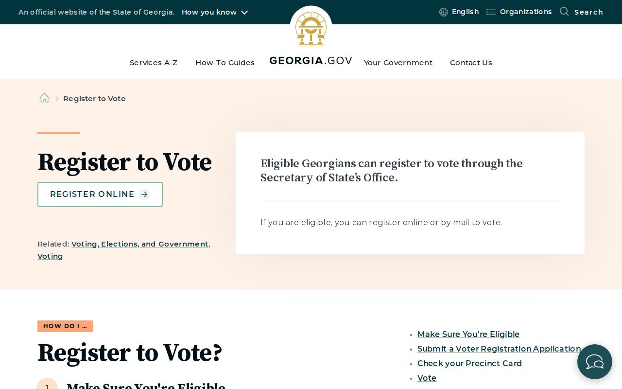
The state screen points to individual voter services, while block research requires the separate ordered-list process and its limits.
Rome Planning Notices Name Interests
Planning files form a public community layer when a parcel is involved in annexation, zoning, or historic review. A Rome annexation application requires the street address, PIN or tax map number, warranty deed, and plat. Adjacent-property notice and meeting records may identify owners with a direct interest in a proposed change. These names show a filing role, not membership in a neighborhood group.
Use the Rome Planning and Zoning office for current notices and the City Archive Center for older minutes and departmental PDFs. Request missing records by parcel, street address, board, and date range. The Georgia Open Records Act generally calls for a response within three business days and allows reasonable search, redaction, inspection, and copy charges.
Rome-Floyd maps also layer wards, precincts, ZIP areas, zoning, and historic surveys. That makes it possible to describe which official communities overlap the block without claiming an HOA roster exists.
Named Rome Communities, Not Rosters
No stable official neighborhood-association or HOA member directory was found for Rome. Civic, congregational, veterans, and fraternal rosters should be treated as private unless an organization publishes them or donates them to an archive. Public officer contact information is not a list of all nearby residents.
| Community source | Useful public contact or record |
|---|---|
| Rome Planning Commission | Agendas, notices, zoning and annexation records |
| Rome-Floyd Library Heritage Room | Accessioned newsletters, directories and local histories; 706-236-4601 |
| Rome History Museum and preservation files | Historic neighborhood and building context |
| Georgia Historic Newspapers | Public announcements, legal notices and local organization activity |
Polk's Rome directory named Beech Creek, Field Wood, Garden Lakes, Horseleg Estates, Lakemore Heights, Riverside Village, Sherwood Forest, Lindale, Mount Berry, and Shannon within its broad coverage statement. That directory geography extends beyond a narrow city core. A listed community name is historical context, not proof of present municipal boundaries or group membership.
Historic Neighbors Around Rome Addresses
A reverse or criss-cross directory arranges entries by street and house number. When an edition includes that section, it can show listed occupants around a Rome address in one year. Rome city-directory editions are documented intermittently from 1913 through 1960, and telephone-directory runs cover about 1936 through 1961. The Rome-Floyd Library Heritage Room also holds later telephone volumes from 2010 through 2013.
These sources contain gaps. Unlisted numbers, non-subscribing adults, and residents outside the publisher's coverage may be absent. Pair the directory with the nearest census, deed, newspaper, or cemetery record. The Georgia Historic Newspapers Floyd collection can add dated obituaries, public notices, and addresses, though OCR errors call for surname and street variants.
The block's physical form can be checked against Rome's 1915 Sanborn atlas, which has 36 sheets. Buildings, uses, and old house numbers help explain why a present parcel does not line up neatly with an older directory entry.
Rome Records Versus Compiled Tools
Commercial neighbor tools combine public records, marketing files, and user submissions. They can be quick, but a profile may be stale, merge similar names, or retain an address after a move. Official sources are narrower and often slower, yet each identifies its custodian and record purpose.
| Source type | Strength | Main limit |
|---|---|---|
| Floyd GIS and QPublic | Current parcel boundary and recorded owner | Does not list all occupants |
| Ordered voter file | Standardized residence and district fields | Paid, restricted use, and not every resident registers |
| Planning and archive files | Dated owner or applicant role | Only people tied to a proceeding appear |
| Commercial compilation | Collects claims from many sources | Stale or merged profiles require official verification |
Correct an error where it began. Parcel issues go to Floyd Assessors, voter information to the registrar or SOS, and planning records to the city custodian. Removing a commercial profile does not erase a lawful public filing.
For a narrow current-custody question, the Floyd County Sheriff's current-inmate list is the official local source.
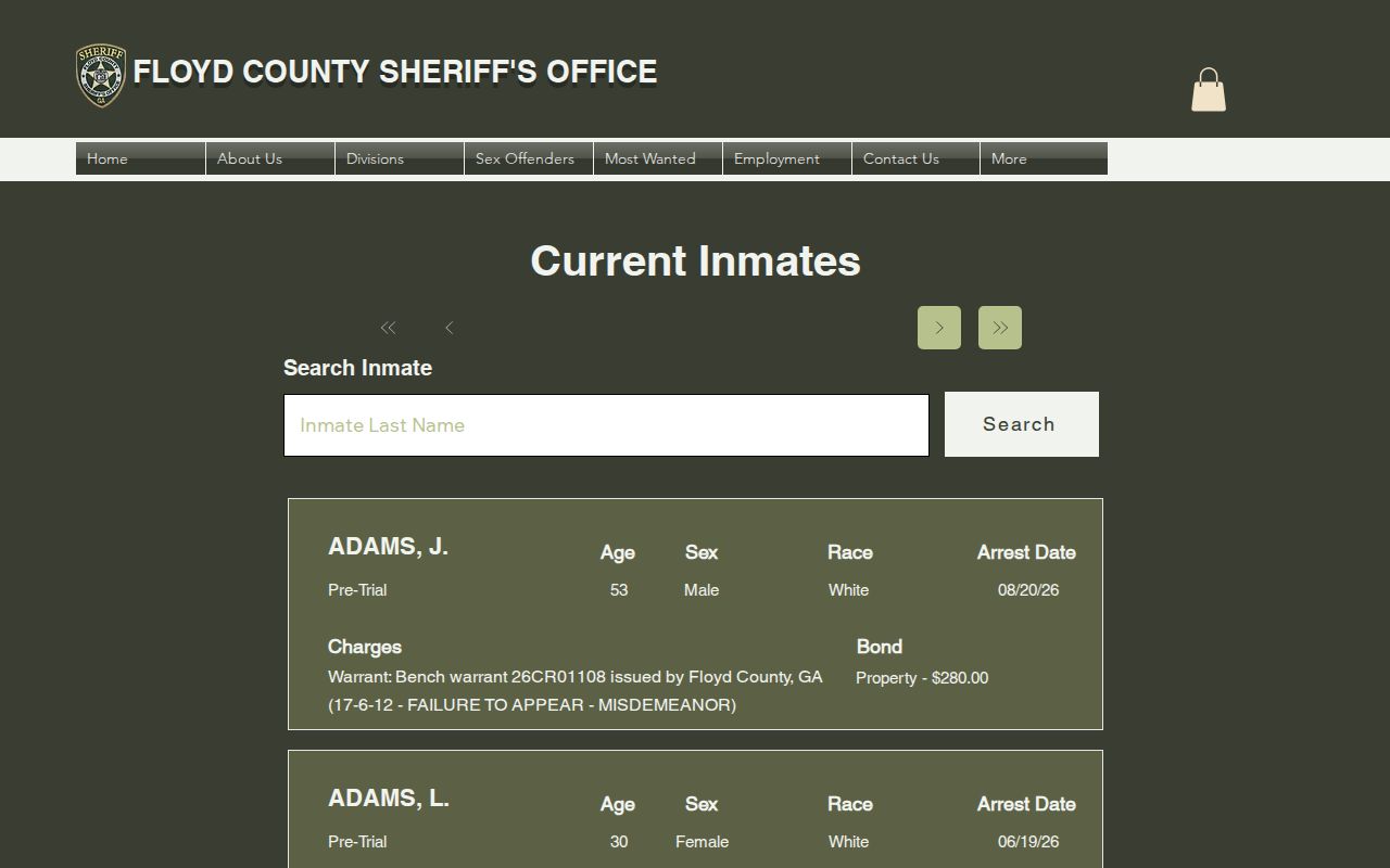
A booking or charge is not a conviction and says nothing about every person near an address; verify the outcome with the proper court.
State custody is covered separately by the Georgia Department of Corrections offender query.
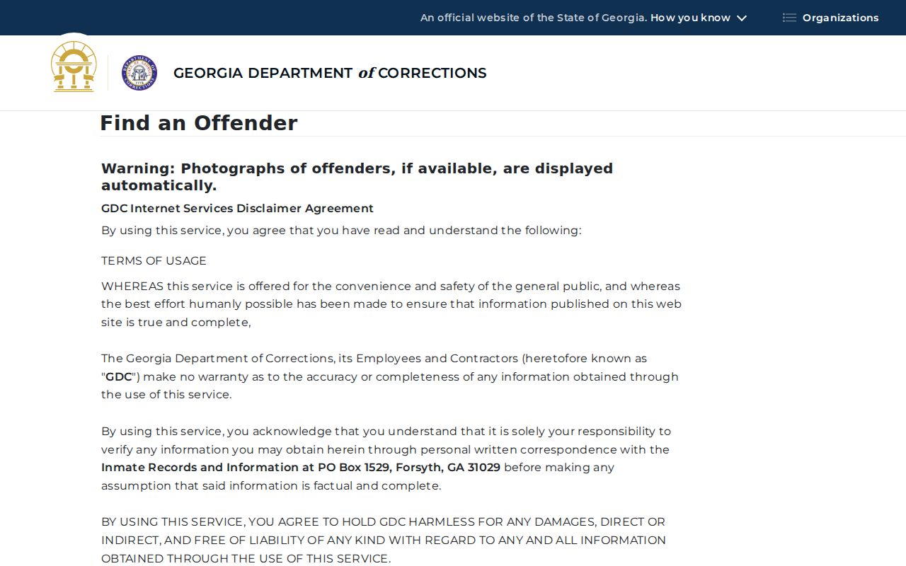
That system covers state custody or supervision, not the Floyd jail or the general population of a Rome block.
Privacy Limits for Rome Neighbors
Private block facts include unlisted renters, household relationships, minors, utility accounts, delivery records, ballot choices, and protected addresses. Public parcel data should never be stretched to fill those gaps. The federal DPPA also restricts motor-vehicle personal data, so DMV records are not an address directory.
Georgia VoteSafe protects the residential address of a registered voter who qualifies through a protective or restraining order or residence in a family-violence shelter. The protected address remains usable for registration but is withheld from disclosure. The VoteSafe page gives the official eligibility and contact route.
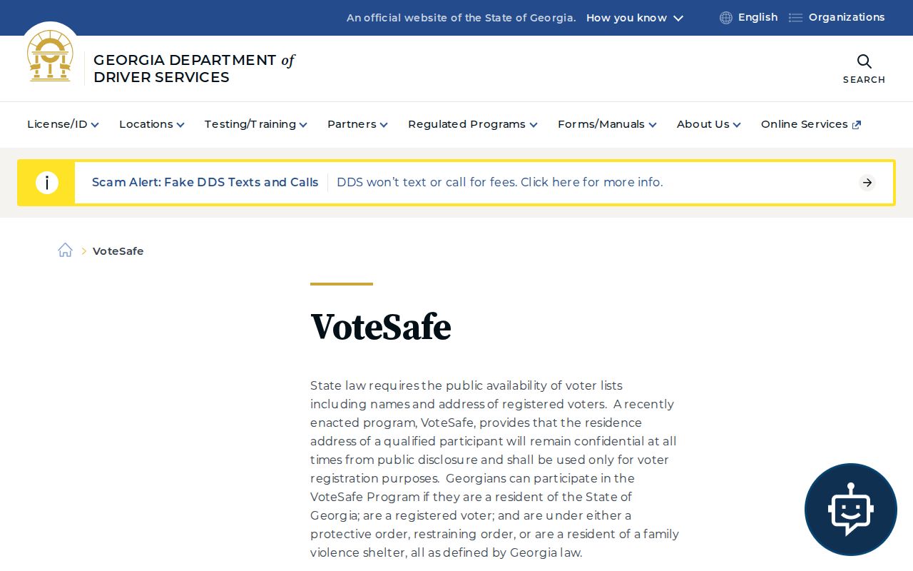
The program is a key reason that a complete-looking block list should never be assumed complete.
Lawful use. Use neighbor records for lawful civic, family, property, or safety research. Never use them to watch, stalk, harass, threaten, or evade a protective order.
Immediate threats belong with law enforcement, not a web search. Georgia stalking law is O.C.G.A. §16-5-90 et seq., and harassing communications are addressed by §16-11-39.1. Public access does not excuse repeated unwanted contact or intimidation.